Log in
All resources
Create a design
1,095,914 Free Images of Maps Of Babylon
atlas de wit 1698
frederick de wit
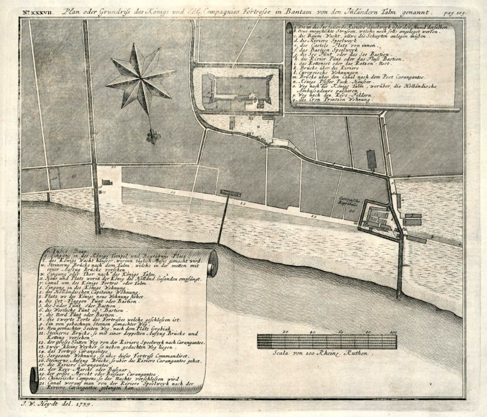
maps of the dutch east india company - india
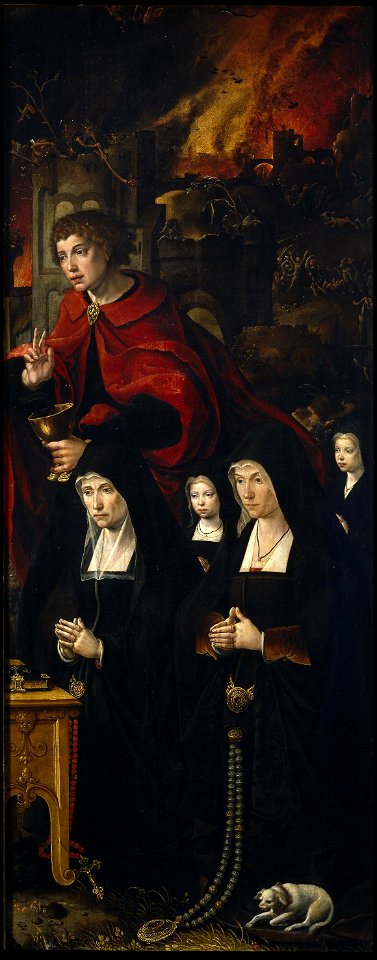
oil on canvas
lucas janszoon waghenaer
charts and maps of the royal museums greenwich
portrait
1552
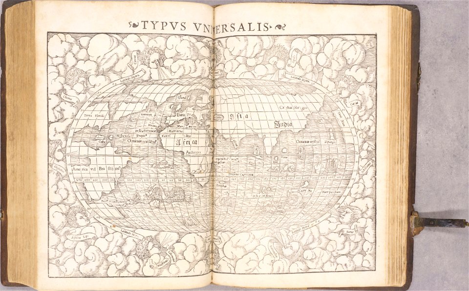
geographiae claudii ptolemaei alexandrini (münster
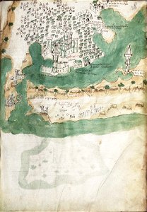
bibliothèque municipale de reims
maqamat of al-hariri - bnf arabe5847
slavery in islam
cherokee script
sequoyah
john wootton
realism
19th-century portrait paintings in the palace of schönbrunn
classicism
portrait paintings of maria theresa of austria (1801–1855)
pietro benvenuti
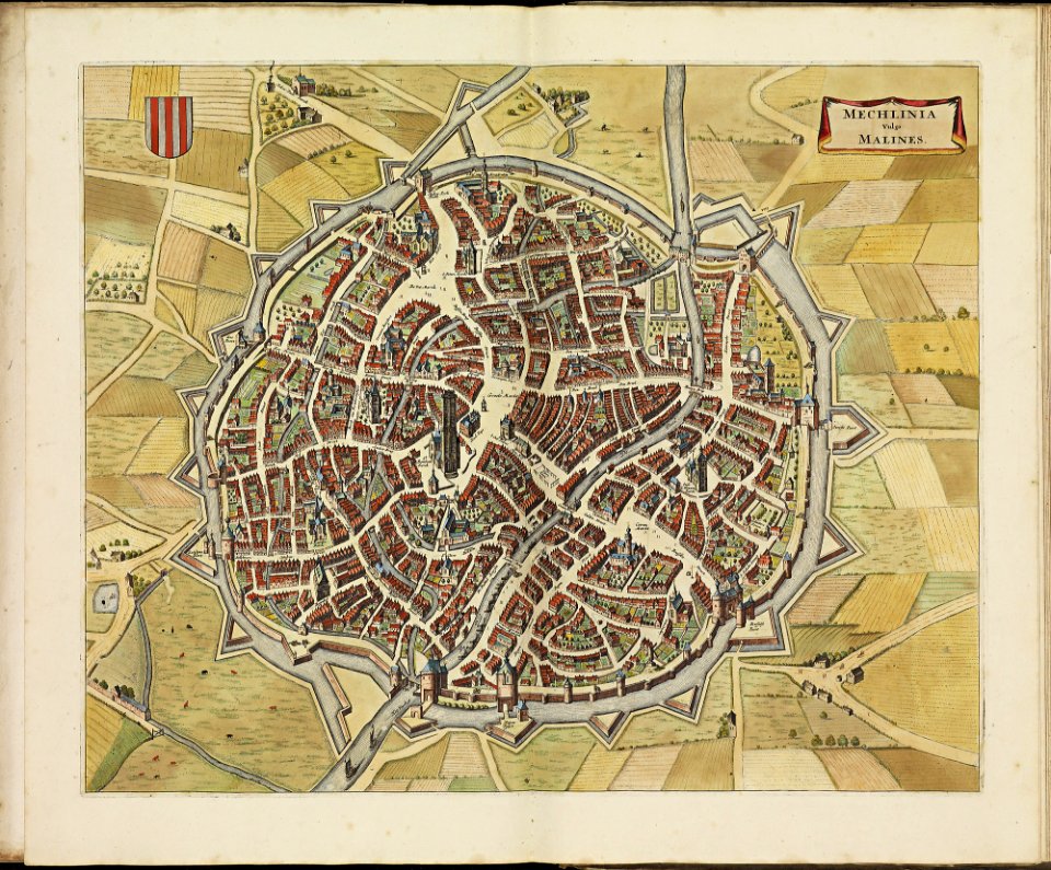
history of antwerp
renaissance
maps made in the 17th century
gerard valck
barbara of austria, duchess of ferrara (francesco terzi - kunsthistorisches museum)
paintings by francesco terzio
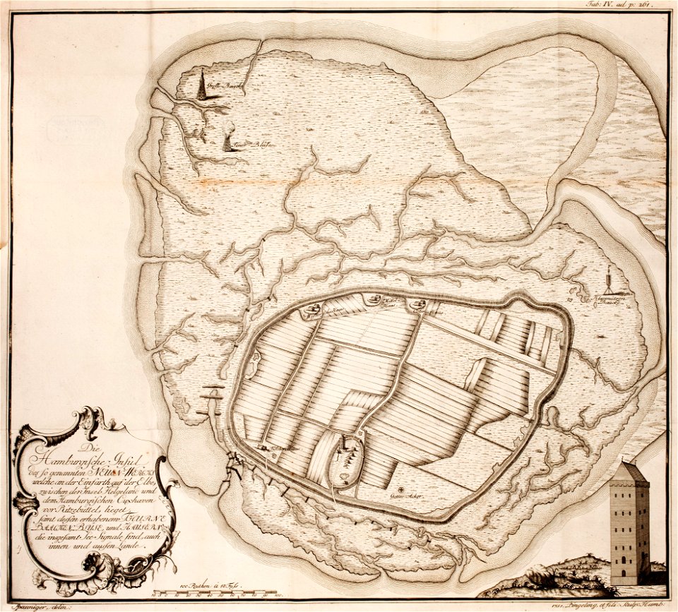
thomas albrecht pingeling
old maps of neuwerk
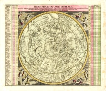
johann gabriel doppelmayr
star location maps
daguerreotypes by mathew brady
john mclean
portrait paintings in the heeresgeschichtliches museum
georg decker
17th-century portrait paintings in the nationalmuseum stockholm
portrait paintings by sébastien bourdon
male portrait paintings by charles willson peale
neoclassicism
1640s portrait paintings of men
edward bower
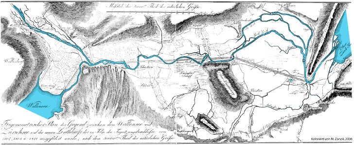
linthebene
linth
king edward vii (by samuel luke fildes, 1902)
male black boots in portrait paintings
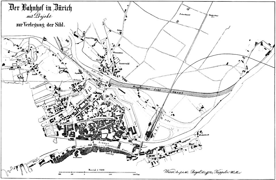
broad street
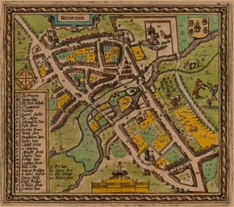
reading
1853
54
history of rail transport in switzerland
aussersihl
collections of the cabinet des estampes et des dessins
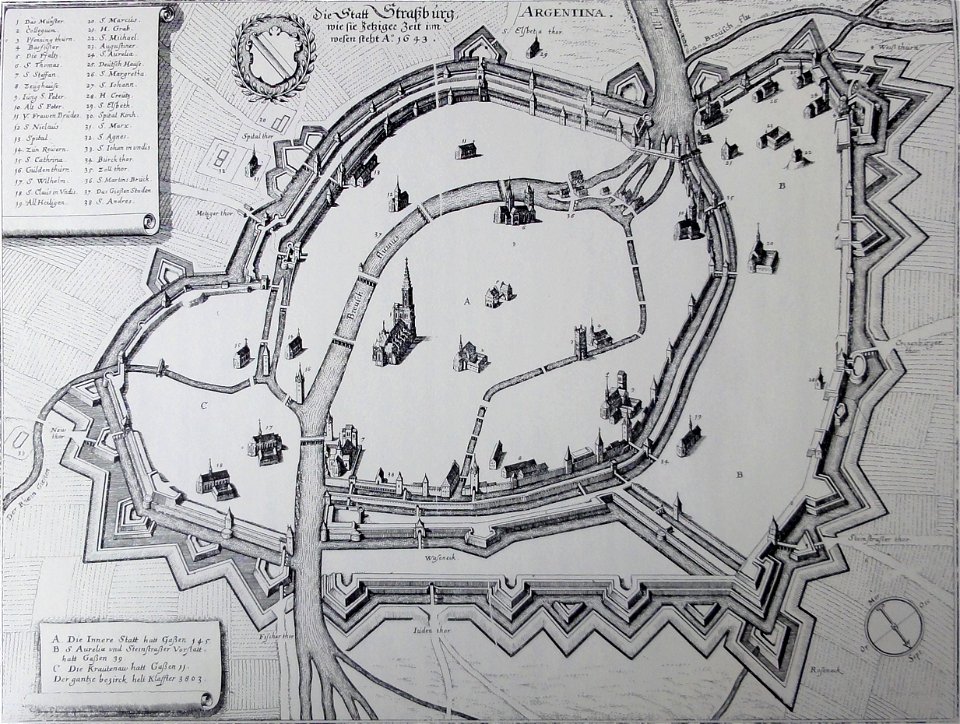
strasbourg
university of london
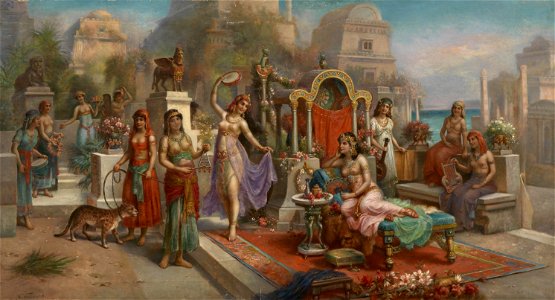
babylon
microcosm of london, volume 3
romanticism
17th-century portrait paintings in the borys voznytskyi lviv national art gallery
jan szwankowski
19th-century oil on canvas paintings
semiramis
portraits by johann-baptist lampi the elder (russian nobility)
male portrait paintings by johann-baptist lampi the elder
16th-century paintings of saint john the evangelist
fall of babylon
charts and maps of the royal museums greenwich
lucas janszoon waghenaer
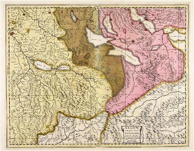
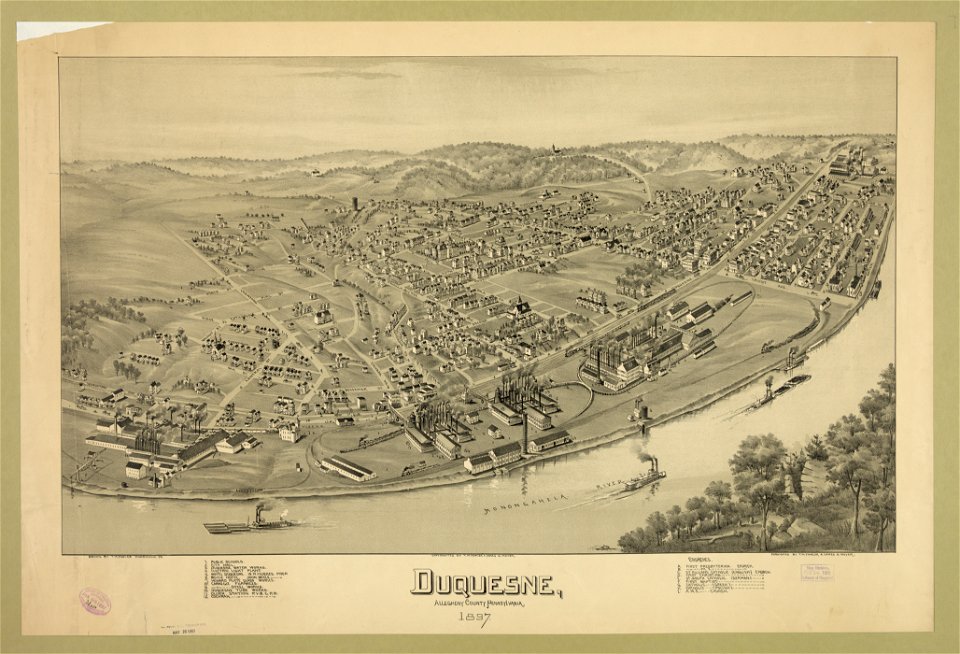
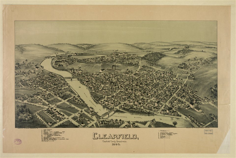
pennsylvania
duquesne
nagato province
genroku kuniezu
liber insularum archipelagi (royal museums greenwich)
gelibolu
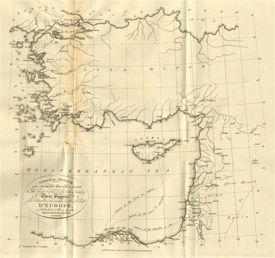
asia and africa
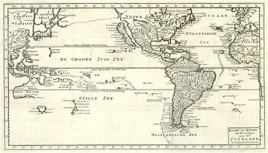
1813 maps
old maps of the americas
1552
1550s maps of the world
1552
old maps of baden-württemberg
1552
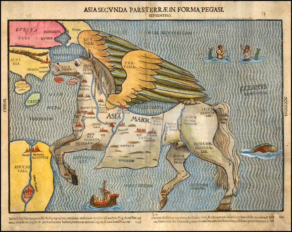
asia secunda pars terrae in forma pegasir
1580s maps of asia
bibliothèque municipale de reims
rès. g 153
pennsylvania
clearfield
old maps of münster (westfalen)
caspar merian
bibliothèque municipale de reims
rès. g 152
bibliothèque municipale de reims
rès. g 153
19th-century maps of bavaria
nördlinger ries
old maps of lake constance
reichenau island
de wikisource book leaflet
de nordseeküste (karten)
de wikisource book leaflet
de nordseeküste (karten)
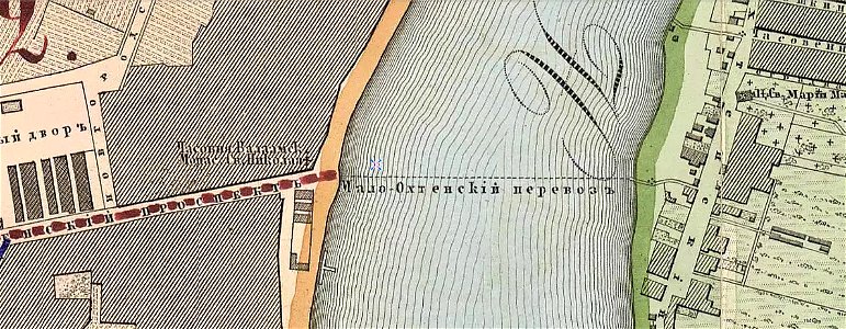
krasnogvardeysky district of saint petersburg
maps made in the 19th century
il devotissimo viaggio di gerusalemme fatto
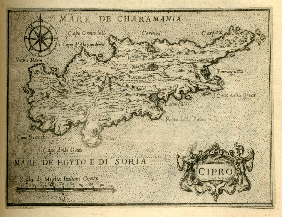
16th-century maps of cyprus
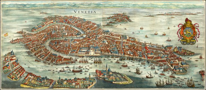
old maps of venice
matthäus merian
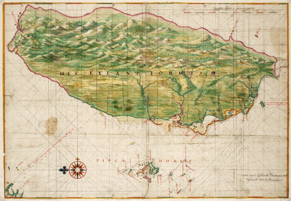
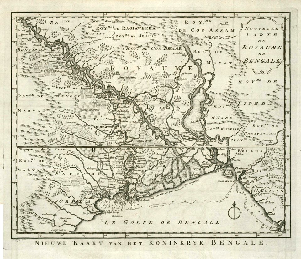
dutch bengal
1720s
ottoman empire
1635
dutch coromandel
1667
dutch bengal
1720s
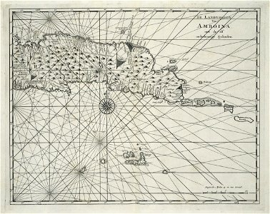
maps of the dutch east india company - india
1665
hans putmans
1665
old maps of the dutch east india company
1787
maps of the dutch east india company - indonesia
1739
banda islands
1724
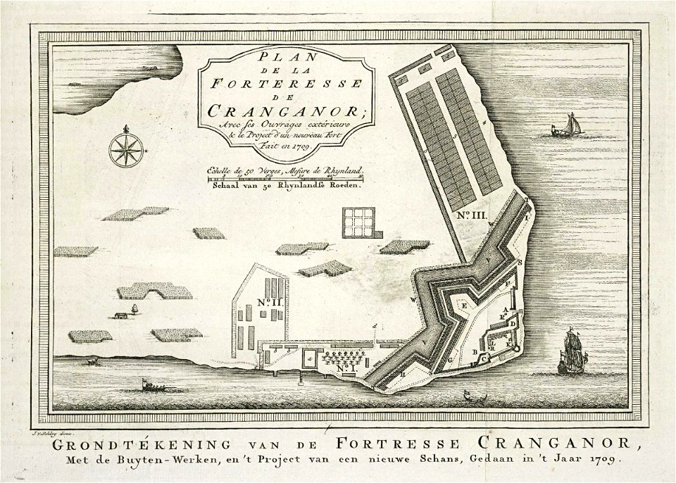
maps of the dutch east india company - india
1724
maps of the dutch east india company - india
1709
maps of the dutch east india company - india
1755
old maps of the dutch east india company
1750
dutch bengal
1755
maps of the dutch east india company - indonesia
1763
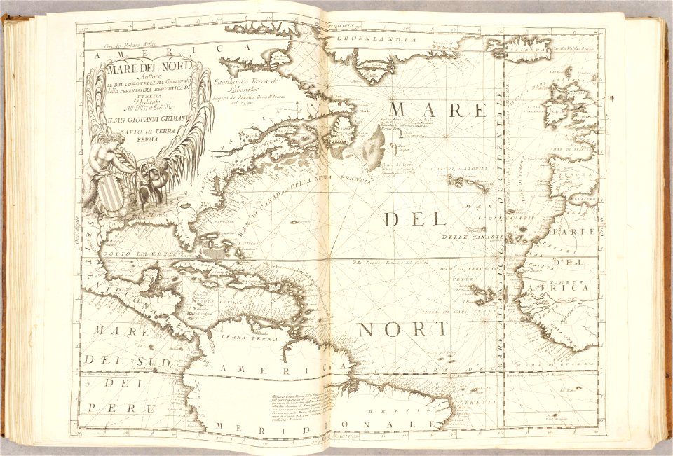
geographical illustrations by coronelli
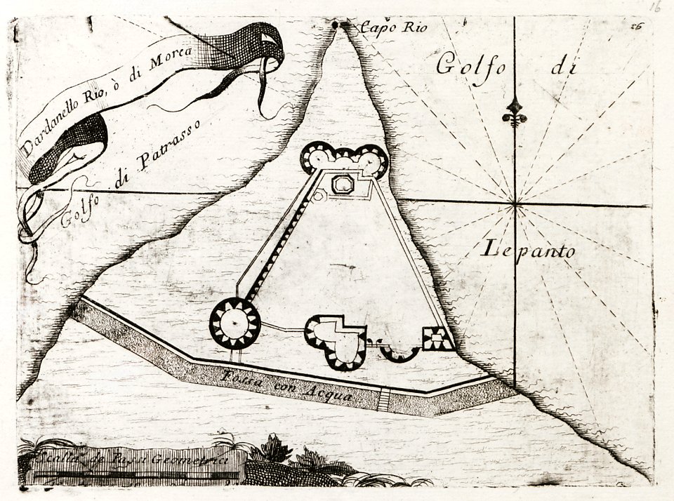
old maps of the peloponnese
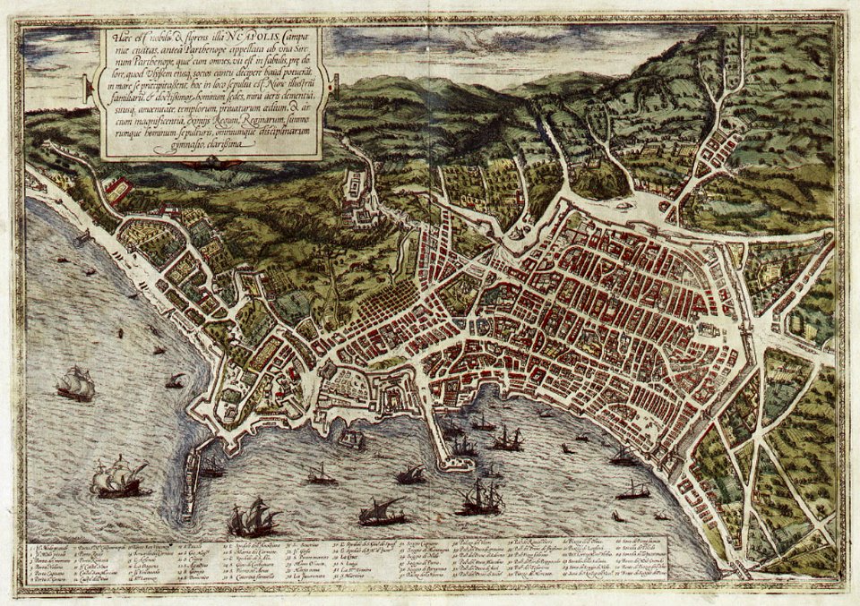
old maps of naples
braun & hogenberg
maps by willem and johannes blaeu
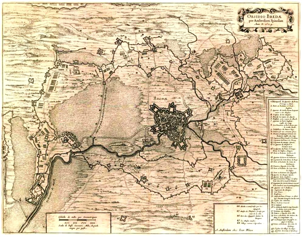
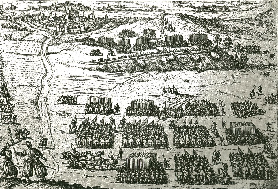
siege of breda 1624-1625
west-indische compagnie
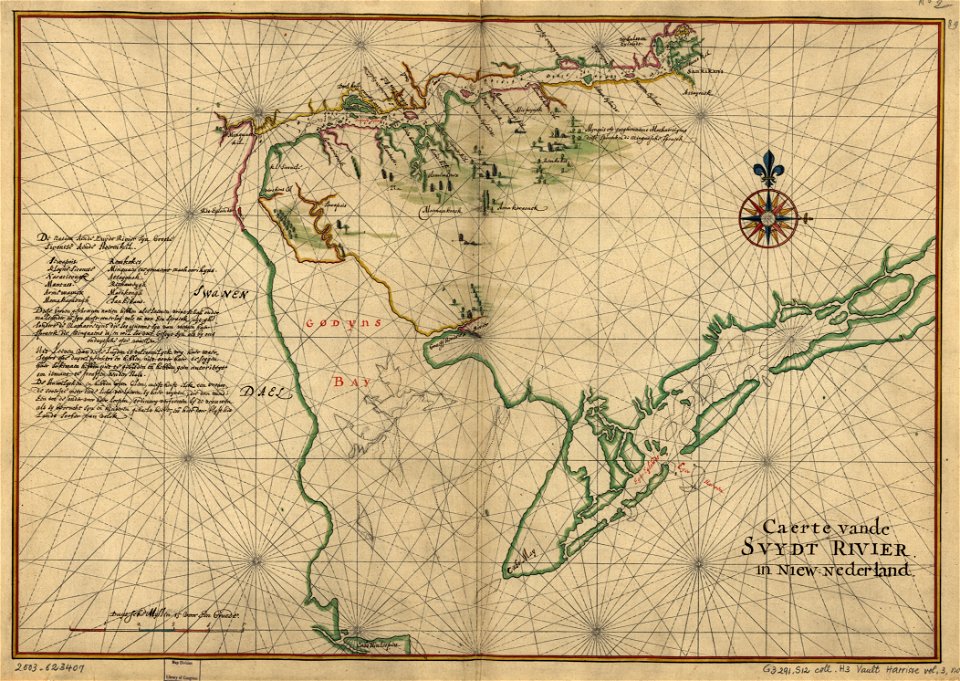
old maps of delaware
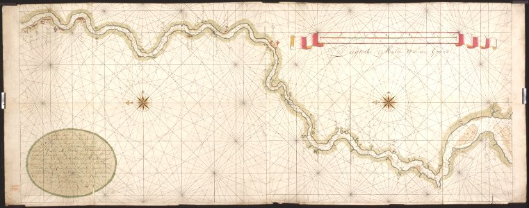
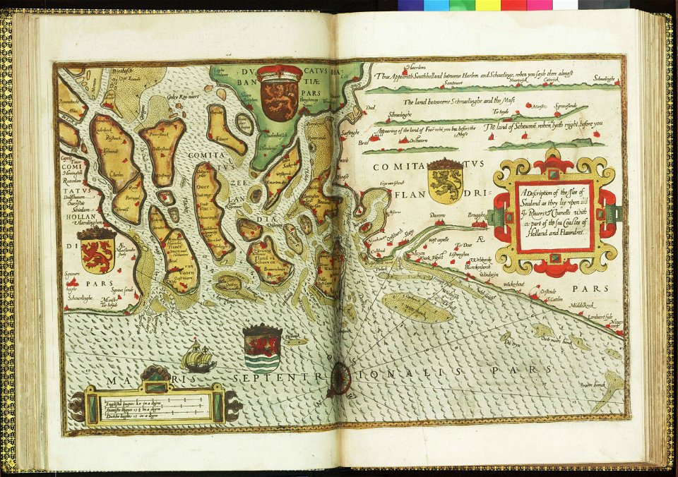
charts and maps of the royal museums greenwich
lucas janszoon waghenaer
charts and maps of the royal museums greenwich
lucas janszoon waghenaer
charts and maps of the royal museums greenwich
lucas janszoon waghenaer
atlante veneto (raremaps.com) volume 1
old maps of the atlantic ocean
old maps of szczecin
frans hogenberg
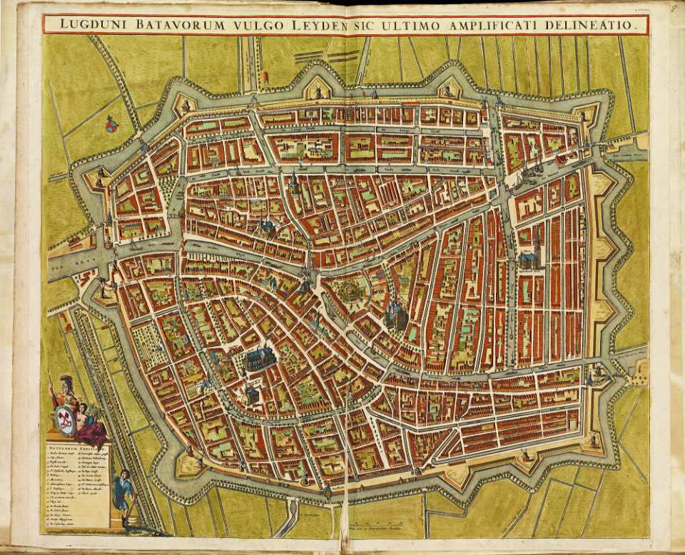
old maps of leiden
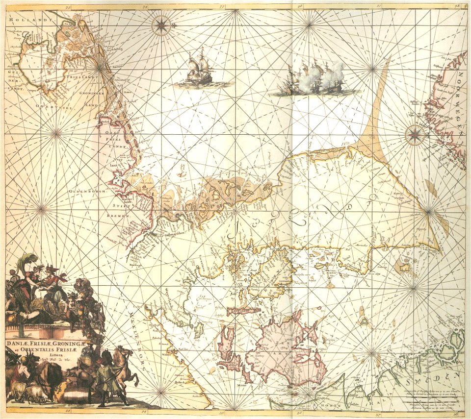
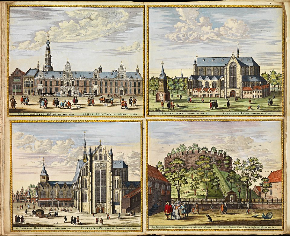
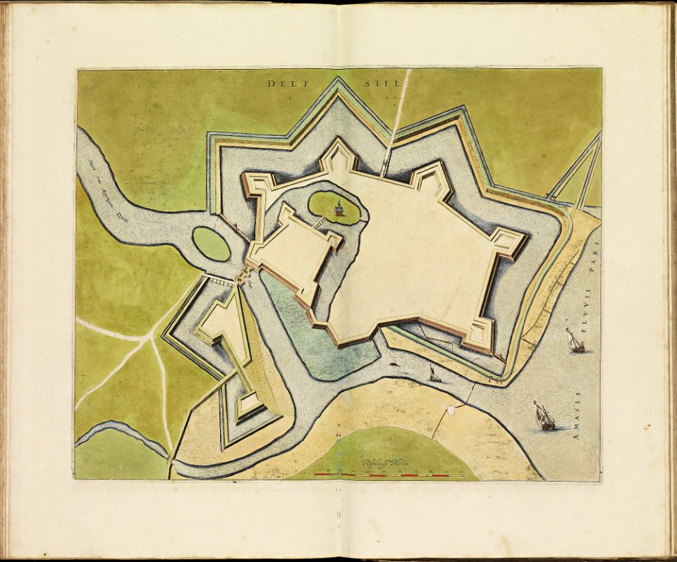
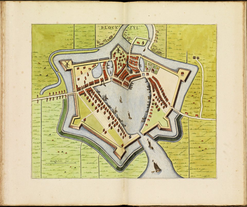
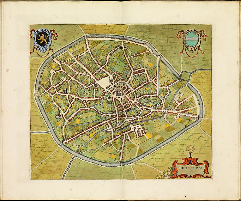
atlas de wit 1698
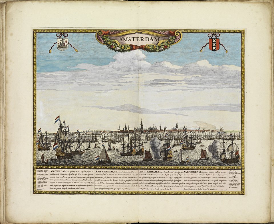
old maps of amsterdam
frederick de wit
atlas de wit 1698
frederick de wit
old maps of amsterdam
frederick de wit
atlas de wit 1698
frederick de wit
atlas de wit 1698
frederick de wit
atlas de wit 1698
frederick de wit
atlas de wit 1698
frederick de wit
atlas de wit 1698
frederick de wit
atlas de wit 1698
frederick de wit
atlas de wit 1698
frederick de wit
atlas de wit 1698
frederick de wit
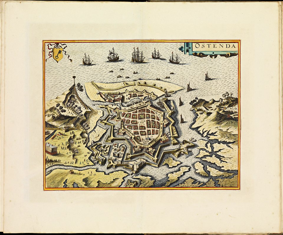
old maps of breda
frederick de wit
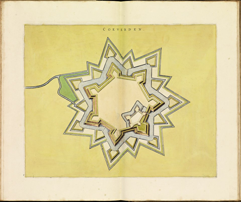
old maps of coevorden
frederick de wit
atlas de wit 1698
frederick de wit
atlas de wit 1698
frederick de wit
atlas de wit 1698
frederick de wit
portolan charts by willem and johannes blaeu
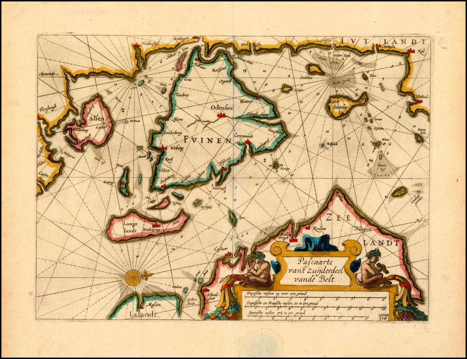
old maps of scandinavia
atlante veneto (raremaps.com) volume 1
old maps of the pacific ocean
atlante veneto (raremaps.com) volume 1
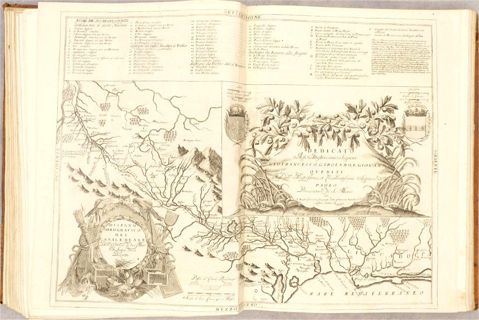
maps of the canal du midi
16th-century maps of maastricht
maastricht in the 1560s
atlas de wit 1698
frederick de wit
maps of liège in the 17th century
atlas de wit 1698
atlas de wit 1698
frederick de wit
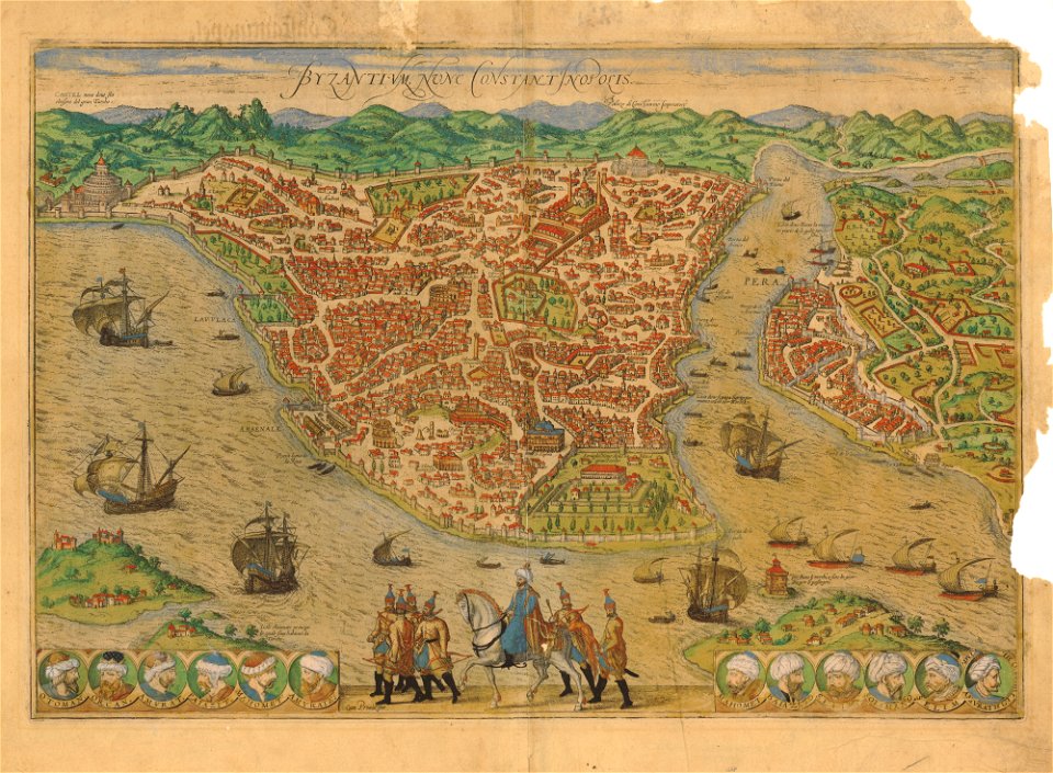
old maps of istanbul
braun & hogenberg
prints in the teylers museum
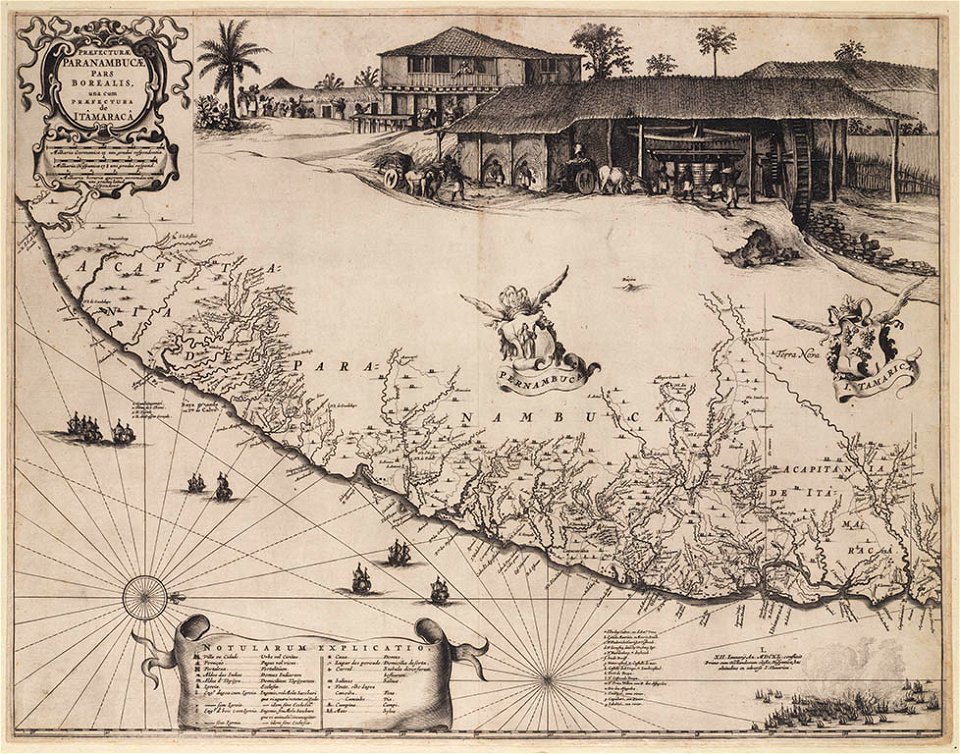
old maps of pernambuco
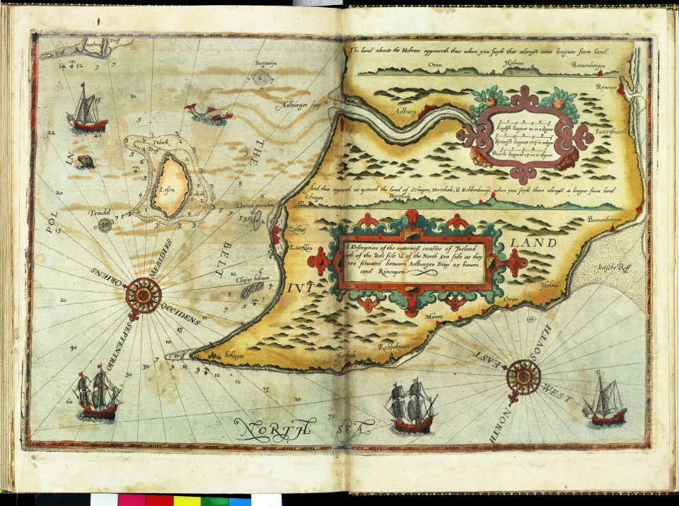
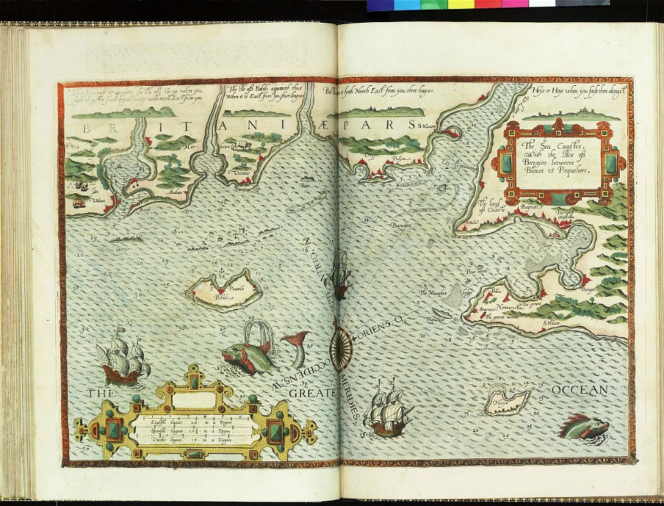
charts and maps of the royal museums greenwich
lucas janszoon waghenaer
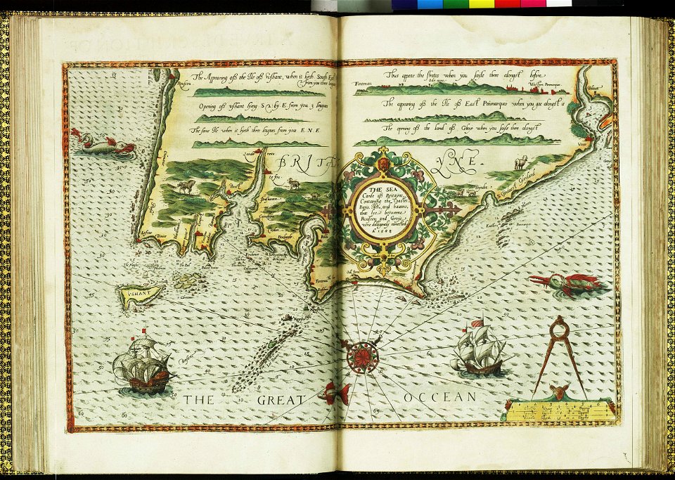
charts and maps of the royal museums greenwich
lucas janszoon waghenaer
7401 - 7500 of 1,095,914
Next page
/ 10960